
RouteSketcher
Draw GPS art routes that snap to real streets
About RouteSketcher
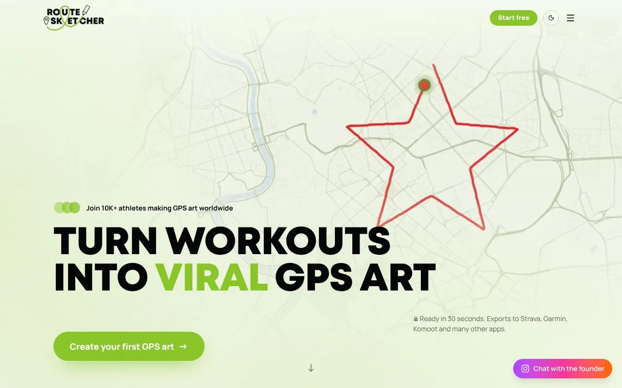
RouteSketcher is a browser-based route planner for people who want to run, ride or walk a shape on the map and share the result. It is aimed at GPS artists and athletes who like turning a workout into a picture that shows up on Strava or Garmin.
You can sketch freehand, pick from a library of ready-made shapes, describe a drawing to an AI doodle generator, or upload a simple image to be traced into a route. Shapes are snapped to OpenStreetMap roads and paths so the line can actually be followed, or you can keep the unsnapped freehand version for open spaces like parks and beaches. The finished route exports as a GPX file that works with Strava, Garmin Connect, Komoot and most watches.
The product uses a one-time payment of $19.99 rather than a subscription, and a free plan allows two sketches so people can test the full workflow first. Sketches can also be exported as transparent overlays or short videos for social posts, and published to a public gallery.
Related tools
RouteSketcher alternatives
CharaFold
Body views and expressions from one character image

Profilfoto KI
KI-Profilfotos aus einem Selfie, ohne Studiotermin

Tenzen Studio
Creative desktop apps as one-time purchases, not subscriptions

AI Halloween
Turn a selfie into a Halloween costume portrait
GEN LAYERS
AI YouTube thumbnail generator and editor

twirl
AI generator for PBR materials from text prompts