Light Pollution Map
Check Bortle class and SQM for any spot on Earth
About Light Pollution Map
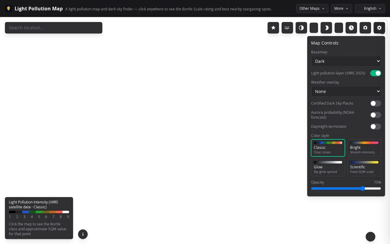
Light Pollution Map is a free interactive map for stargazers, astrophotographers and anyone curious how dark the sky is where they live or plan to travel. It draws on satellite night-light data to show artificial skyglow worldwide, from heavily lit cities to remote rural areas.
Clicking any point on the map returns the Bortle Scale class and an approximate SQM reading for that location. Users can also search for a place, browse nearby stargazing spots, and layer on certified dark sky places, an aurora probability forecast and a day/night terminator to plan a night out.
Its main difference is that it turns raw satellite brightness into a readable sky rating without needing a physical sky quality meter. The site also explains how to use the readings for Milky Way viewing, meteor showers and night photography.
Related tools
Light Pollution Map alternatives
Ardor
One AI agent that builds, deploys and runs your apps

Reimorph
Edit photos from a reference image using text prompts
ImageToSTL
Turn a photo into a 3D-printable model with AI

BlaBlaScribe
AI transcription, subtitles and dubbing from audio or video
Token360
One OpenAI-compatible API for text, image, audio and video

Image to Prompt
Turn any image into a detailed AI image prompt